WEATHER ALERT
ENVIRONMENT CANADA
************************
Snowfall warning issued for:
Greater Sudbury and vicinity, Ont. (049100)
Elliot Lake - Ranger Lake, Ont. (049200)
Chapleau - Gogama, Ont. (049600)
Kirkland Lake - Temiskaming Shores - Temagami, Ont. (049700)
Current details:
Significant snowfall likely tonight into early Thursday morning.
Hazards:
Total snowfall amounts of 15 to 25 cm, particularly north of Sudbury and Elliot Lake.
Peak snowfall rates of 2 to 4 cm per hour.
Reduced visibility in areas of heavier snow.
Timing:
Beginning tonight and tapering off by Thursday.
Discussion:
Snow is expected to move into the region later tonight and continue through the day Wednesday and into Wednesday night. For areas farther south along the Highway 17 corridor including Greater Sudbury and Elliot Lake, precipitation may be a mix of rain and snow, with a changeover to all snow not likely until Wednesday evening. As a result, snowfall amounts in this corridor will likely be less.
Precipitation should taper off Thursday morning.
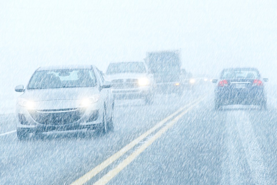
Rapidly accumulating snow could make travel difficult over some locations. Surfaces such as highways, roads, walkways and parking lots may become difficult to navigate due to accumulating snow.
Be prepared to adjust your driving with changing road conditions.
Please continue to monitor alerts and forecasts issued by Environment Canada. To report severe weather, send an email to [email protected] or tweet reports using #ONStorm.
More details on the alert are available here.
************************