NEWS RELEASE
ENVIRONMENT CANADA
*************************
Severe thunderstorm watch in effect for:
- Elliot Lake - Ranger Lake
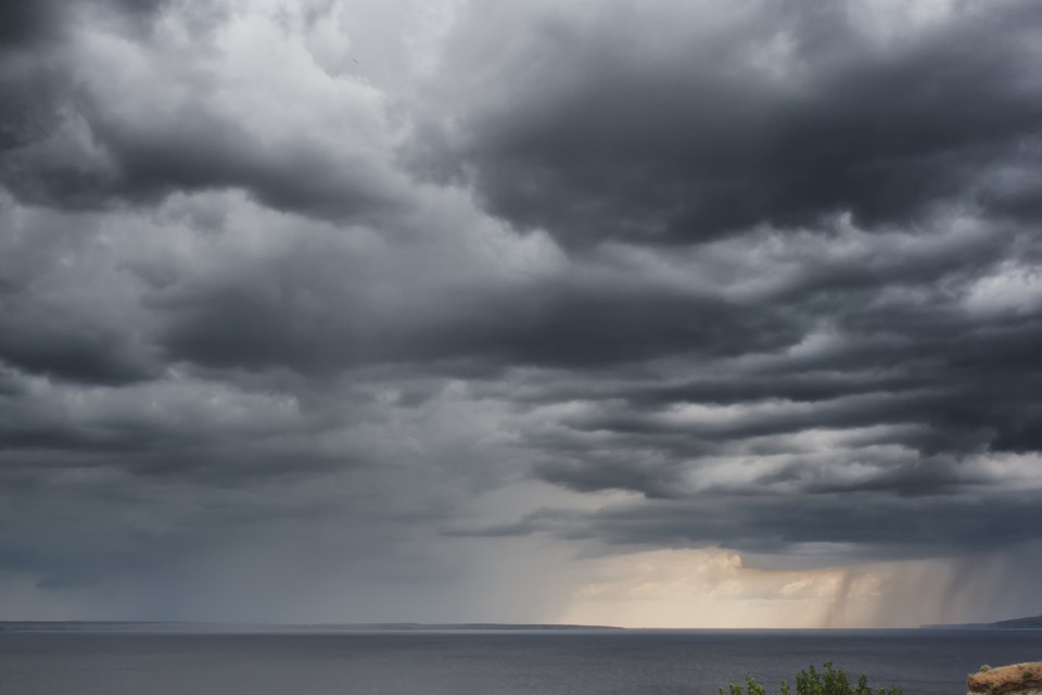
Conditions are favourable for the development of severe thunderstorms that may be capable of producing strong wind gusts and large hail.
Hazards:
Wind gusts up to 90 km/h.
Nickel sized hail possible.
Timing:
This afternoon into early this evening.
Large hail can damage property and cause injury. Strong wind gusts can toss loose objects, damage weak buildings, break branches off trees and overturn large vehicles. Water-related activities may be unsafe due to violent and sudden gusts of wind over bodies of water. Be prepared for severe weather. Take cover immediately, if threatening weather approaches. Lightning kills and injures Canadians every year. Remember, when thunder roars, go indoors!
Severe thunderstorm watches are issued when atmospheric conditions are favourable for the development of thunderstorms that could produce one or more of the following: large hail, damaging winds, torrential rainfall.
The Office of the Fire Marshal and Emergency Management recommends that you take cover immediately if threatening weather approaches.
Please continue to monitor alerts and forecasts issued by Environment Canada. To report severe weather, send an email to [email protected] or tweet reports using #ONStorm.
For more information: http://www.emergencymanagementontario.ca/english/beprepared/beprepared.html.
*************************