The Ministry of Natural Resources and Forestry, Sault Ste. Marie/Blind River District, is advising residents that although heavy rain from Friday afternoon has stopped, a flood watch is now in effect for the Goulais River.
Residents of the Sault Ste. Marie /Blind River District area should keep a close watch on water conditions, check for updated messages and stay away from fast-moving rivers and streams, a news release says.
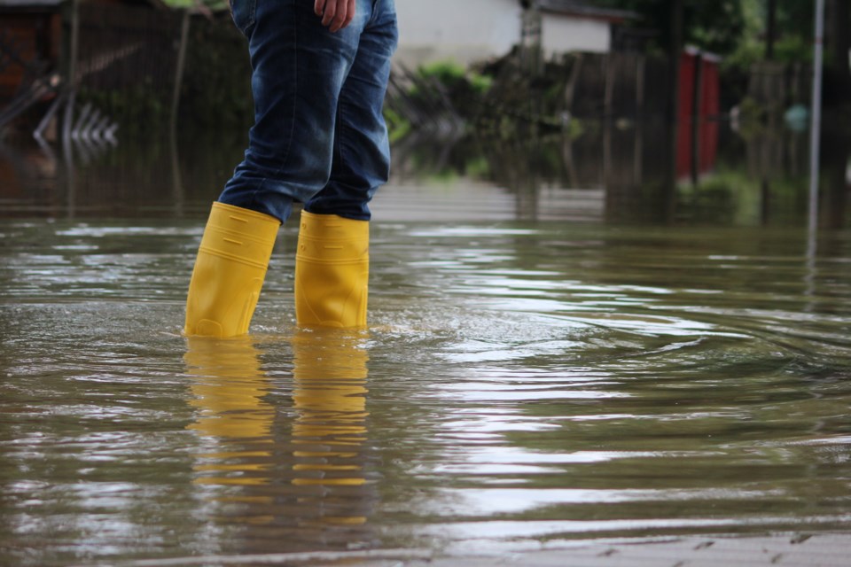
Residents in the Goulais watershed are are reminded that water levels can change very quickly with runoff from the recent rain.
Following is the complete news release issued this evening:
The Ministry of Natural Resources and Forestry (MNRF) - Sault Ste. Marie/Blind River District is advising area residents that a Flood Watch is now in effect for the Goulais River.
Residents of the Sault Ste. Marie /Blind River District area should keep a close watch on water conditions, regularly check for updated messages and stay away from fast-moving rivers and streams.
Residents within the Goulais River watershed are advised that that river conditions should be monitored closely as water levels can change very quickly with runoff from the recent rainfall event. The MNRF is closely monitoring the weather and developing watershed conditions. Further updates will be issued as appropriate.
TECHNICAL INFORMATION
Description of Weather System: Heavy rains from Friday afternoon have tapered off. Northwest winds gusting near 40km/h will continue to blow all evening into Saturday dropping temperatures to 2C. Skies will clear tomorrow and daytime highs should reach 7C. Rain is expected to resume Saturday overnight and into Sunday with 5 mm rain forecasted. Description of Current Conditions Water levels and stream flows across the region are elevated from spring snow melt and the recent precipitation event.
Forecasted warm temperatures and heavy precipitation have accelerated the melting of the remaining snowpack in the northern reaches of the watershed producing additional runoff and increasing levels and flows. Currently water levels and flows for the Goulais River are below flood critical threshold parameters but rising rapidly. Residents of the Goulais watershed area are advised that some low lying areas may reach flood critical levels within the next 24 hour period.
Risks may include fast moving cold water with rapidly changing conditions. Localized flooding in low lying areas with a history of flooding are a possibility. A close watch on local forecasts and conditions is recommended.
EXPIRY DATE
This message will be in effect until (or updated before): Wednesday, April 17, 10 a.m.
TERMINOLOGY
WATERSHED CONDITIONS STATEMENT - FLOOD OUTLOOK: Gives early notice of the potential for flooding based on weather forecasts calling for heavy rain, snow melt, high winds or other conditions.
WATERSHED CONDITIONS STATEMENT – WATER SAFETY: Indicates that high flows, melting ice or other factors could be dangerous for such users as boaters, anglers and swimmers but flooding is not expected.
FLOOD WATCH: Potential for flooding exists within specific watercourses and municipalities.
FLOOD WARNING: Flooding is imminent or occurring within specific watercourses and municipalities.