NEWS RELEASE
ENVIRONMENT CANADA
*********************************
Special weather statement in effect for:
• Sault Ste. Marie - St. Joseph Island
• Blind River - Thessalon
• Espanola - Killarney
• Manitoulin Island
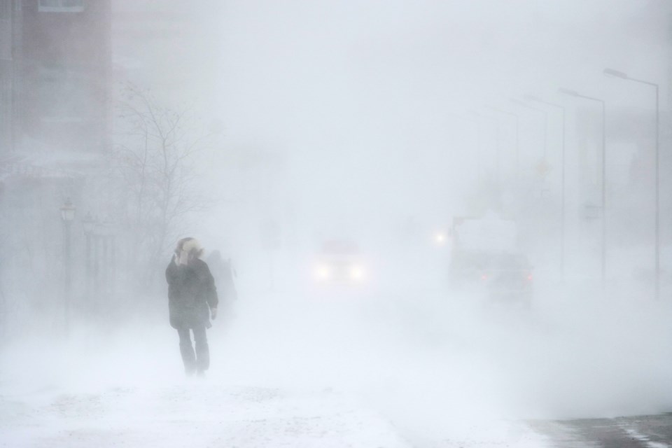
Strong wind gusts, snow and blowing snow expected Thursday.
Hazard:
Southeasterly wind gusts up to 80 km/h.
Snowfall amounts of 10 to 15 cm.
Reduced visibility due to heavy snow and blowing snow.
Timing:
Early Thursday morning into Thursday night.
Impacts:
Loose objects may be tossed by the wind and local power outages may occur.
Hazardous travel conditions due to snow and reduced visibility in snow and blowing snow.
Discussion:
A strong low pressure system is expected to bring strong southeasterly wind gusts, snow and blowing snow beginning early Thursday morning and continuing into Thursday night. The strongest wind gusts are expected primarily near Lake Huron, Georgian Bay and the North Channel.
Please continue to monitor alerts and forecasts issued by Environment Canada. To report severe weather, send an email to [email protected] or tweet reports using #ONStorm.
*********************************