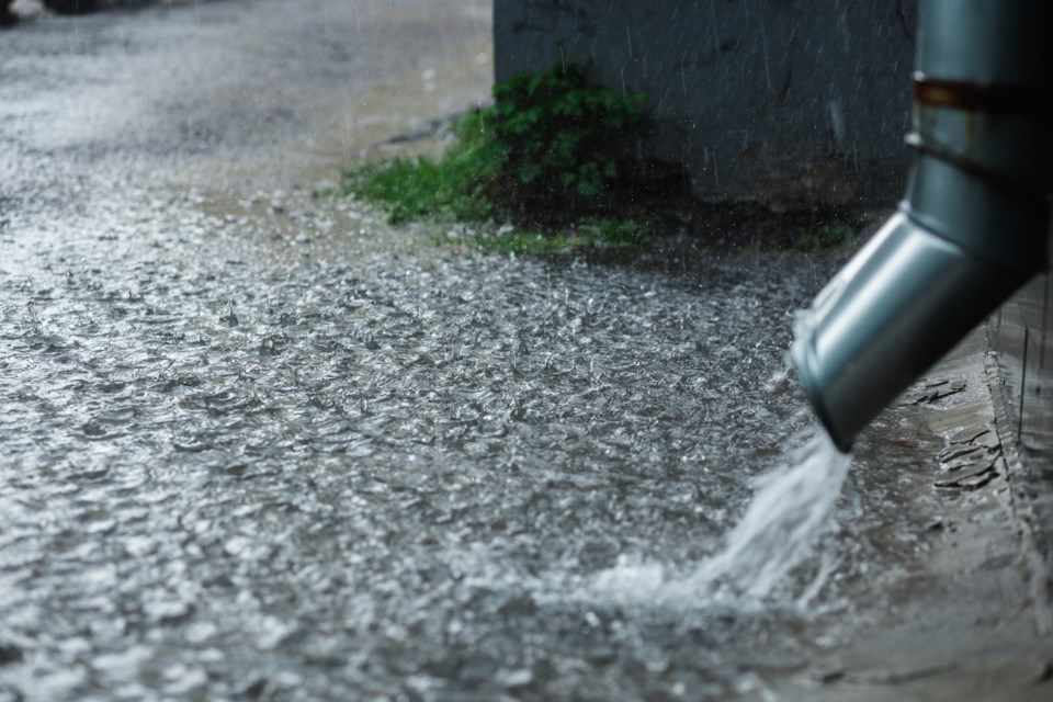
Environment Canada has issued a rainfall warning for parts of northern Ontario, including our region. Thunderstorms are expected to bring heavy downpours this afternoon, with local rainfall amounts of 50 mm.
Full text of the Environment Canada alert follows:
Rainfall warning issued for:
• Agawa - Lake Superior Park
• Sault Ste. Marie - St. Joseph Island
• Searchmont - Montreal River Harbour - Batchawana Bay
• Greater Sudbury and vicinity
• Blind River - Thessalon
• Espanola - Killarney
• Elliot Lake - Ranger Lake
• Gogama - Foleyet
• Kirkland Lake - Englehart
• Temiskaming Shores - Temagami
• North Bay - Powassan - Mattawa
• West Nipissing - French River
Current details:
Rain, at times heavy, is expected today.
Showers with thunderstorms this morning have given near 20 to 40 mm in some locales. More thunderstorms with heavy downpours are expected this afternoon. Local rainfall amounts of 50 mm likely.
For information concerning flooding, please consult your local Conservation Authority or Ontario Ministry of Natural Resources and Forestry office. Visit Ontario.ca/floods for the latest details.
Heavy downpours can cause flash floods and water pooling on roads. Localized flooding in low-lying areas is possible. Heavy rainfall in combination with other weather factors, such as hail, wind and lightning will make outdoor activities unsafe.
Watch for possible washouts near rivers, creeks and culverts.
Please continue to monitor alerts and forecasts issued by Environment Canada. To report severe weather, send an email to [email protected] or tweet reports using #ONStorm.