WEATHER ALERT
ENVIRONMENT CANADA
*************************
Severe thunderstorm warning in effect for:
- Elliot Lake - Ranger Lake
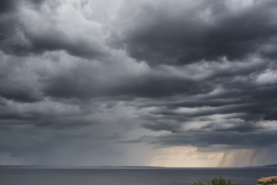
At 6:53 a.m., Environment Canada meteorologists are tracking a cluster of severe thunderstorms capable of producing strong wind gusts, up to nickel size hail and heavy rain.
This cluster of severe thunderstorms is located from 20 kilometres southeast of Pukaskwa to 15 kilometres west of Chapleau to 9 kilometres south of Goulais River Provincial Park to 50 kilometres west of Pancake Bay Provincial Park, moving east at 40 km/h.
Hazard: 90 km/h wind gusts and nickel size hail.
Locations impacted include: Wawa and Chapleau.
Take cover immediately, if threatening weather approaches. Large hail can damage property and cause injury. Strong wind gusts can toss loose objects, damage weak buildings, break branches off trees and overturn large vehicles. Lightning kills and injures Canadians every year. Remember, when thunder roars, go indoors!
Severe thunderstorm warnings are issued when imminent or occurring thunderstorms are likely to produce or are producing one or more of the following: large hail, damaging winds, torrential rainfall.
The Office of the Fire Marshal and Emergency Management recommends that you take cover immediately if threatening weather approaches.
Please continue to monitor alerts and forecasts issued by Environment Canada. To report severe weather, send an email to [email protected] or tweet reports using #ONStorm.
*************************