ENVIRONMENT CANADA
*************************
Snowfall warning in effect for:
- Elliot Lake - Ranger Lake
- Greater Sudbury and vicinity
- Sault Ste. Marie - St. Joseph Island
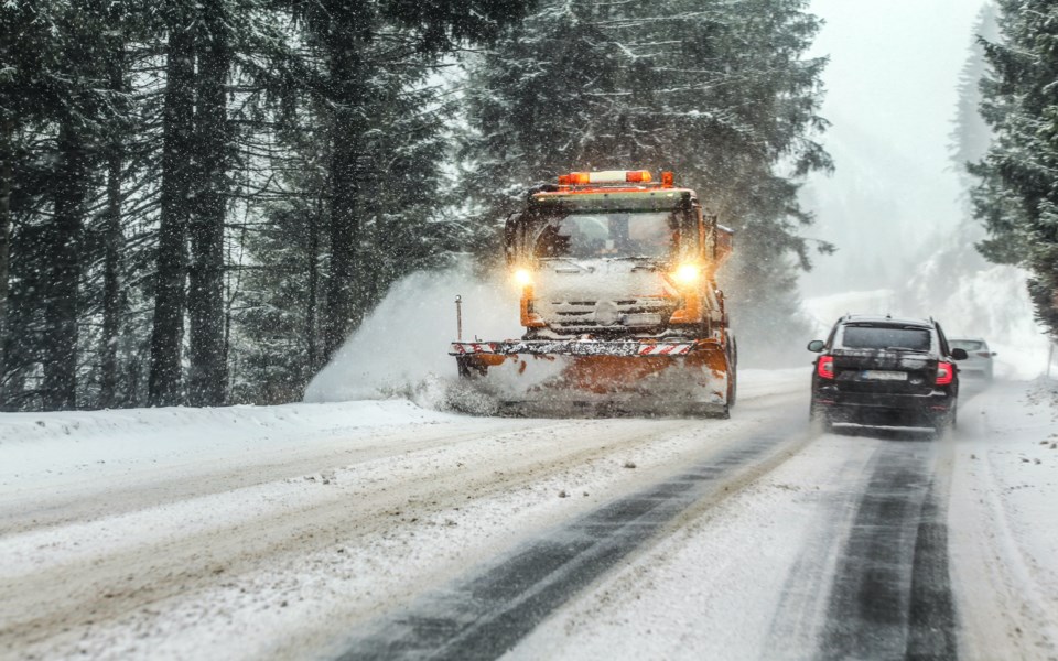
Significant snowfall today and tonight.
Snow will become heavy this afternoon into this evening. Total snowfall accumulations of 15 to 25 cm can be expected by the time the snow tapers to flurries Sunday morning.
Local blowing and drifting snow can also be expected overexposed areas this afternoon and this evening.
Prepare for quickly changing and deteriorating travel conditions. Visibility may be suddenly reduced at times in heavy snow.
Winter storm warning in effect for:
- Blind River - Thessalon
- Espanola - Killarney
- Manitoulin Island
- Sault Ste. Marie - St. Joseph Island
Significant snowfall and blowing snow today.
Snow, heavy at times, will continue into this afternoon. Total snowfall accumulations of 15 to 25 cm are expected by the time the snow tapers to flurries early Sunday morning.
Easterly winds gusting up to 60 km/h will cause widespread blowing snow today making travel difficult across the area.
Consider postponing non-essential travel until conditions improve. Visibility will be suddenly reduced to near zero at times in heavy snow and blowing snow.
Please continue to monitor alerts and forecasts issued by Environment Canada. To report severe weather, send an email to [email protected] or tweet reports using #ONStorm.