WEATHER ALERT
ENVIRONMENT CANADA
*************************
Special weather statement in effect for:
- Elliot Lake - Ranger Lake
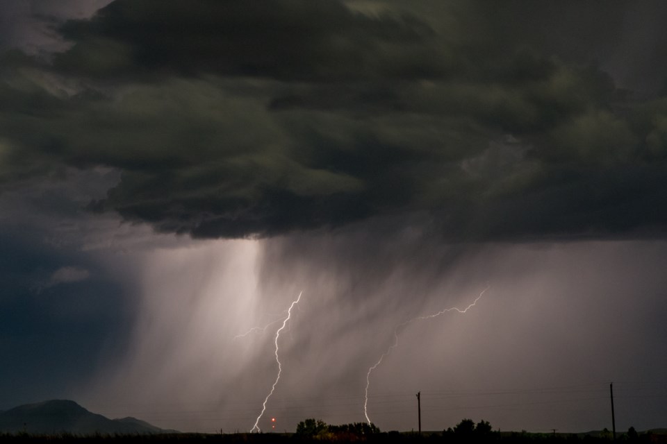
Strong thunderstorms in some areas beginning near midnight.
A low pressure system from southern Minnesota will move northeastward to cross Lake Superior tonight. Strong thunderstorms developing south of the low are forecast to track across the portions of the regions overnight. There is uncertainty as to exactly which regions will have the greatest chance of being affected.
Some storms will have potential to produce damaging winds. Local rainfall amounts in excess of 50 mm will also be possible.
Environment Canada will monitor this situation closely. Watches may be issued this evening as the potential severe event draws nearer and the expected track of the storms becomes more apparent.
Please continue to monitor alerts and forecasts issued by Environment Canada. To report severe weather, send an email to [email protected] or tweet reports using #ONStorm.
*************************