11:15 p.m. update:
Tornado watch in effect for:
- Espanola - Killarney
Conditions are favourable for the development of severe thunderstorms which may produce tornadoes.
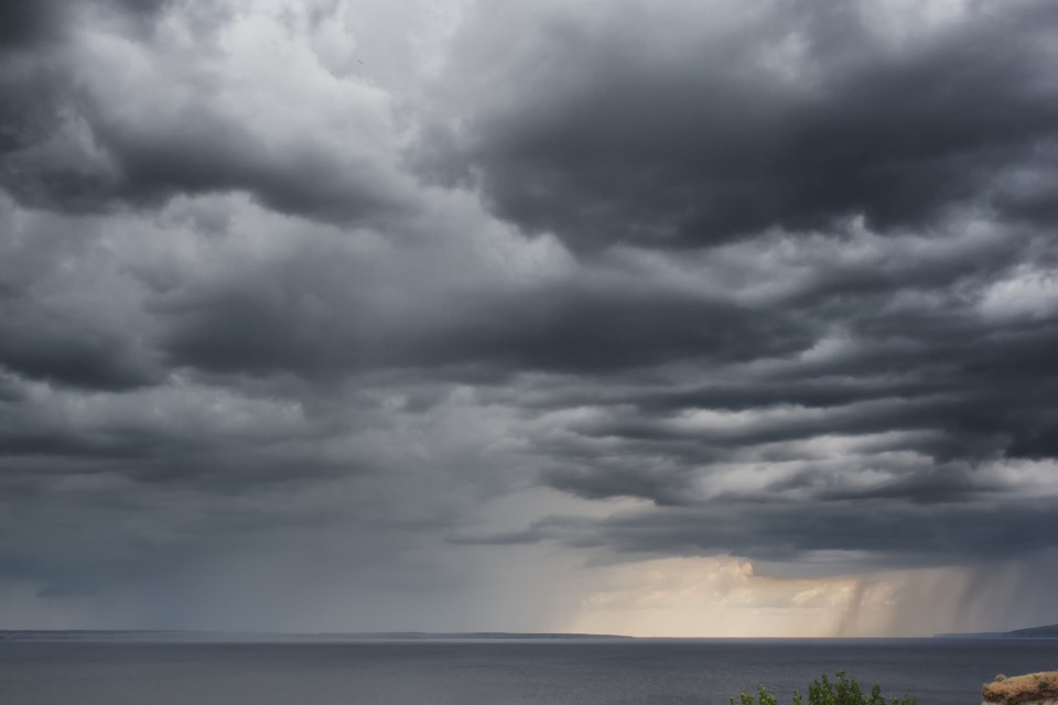
Hazards: Tornadoes. Hail 4 cm. Wind gust 120 km/h. Rain local 50 mm in an hour. Frequent cloud to ground lightning.
Timing: This afternoon.
Discussion: A line of severe thunderstorms is expected to move eastward across the regions this afternoon. Some of these storms will likely contain tornadoes. This may be a dangerous situation.
This is a dangerous and potentially life-threatening situation.
Be prepared for severe weather. Take cover immediately, if threatening weather approaches.
In the event of a tornado, or if a tornado warning is issued for your area, it is recommended you take the following actions: Go indoors to a room on the lowest floor, away from outside walls and windows, such as a basement, bathroom, stairwell or interior closet. Leave mobile homes, vehicles, tents, trailers and other temporary or free-standing shelter, and move to a strong building if you can. As a last resort, lie in a low spot and protect your head from flying debris. Lightning kills and injures Canadians every year. Remember, when thunder roars, go indoors!
Tornado watches are issued when atmospheric conditions are favourable for the development of thunderstorms that could produce tornadoes.
The Office of the Fire Marshal and Emergency Management recommends that you take cover immediately if threatening weather approaches.
Please continue to monitor alerts and forecasts issued by Environment Canada. To report severe weather, send an email to [email protected] or tweet reports using #ONStorm.
For more information, click here.
Original information:Severe thunderstorm watch in effect for:
• Blind River - Thessalon
• Espanola - Killarney
• Manitoulin Island
Conditions are favourable for the development of dangerous thunderstorms that may be capable of producing damaging wind gusts, large hail and heavy rain.
Hazards: Wind gusts of 90 km. 2-3 cm hail. Torrential downpours. Frequent cloud to ground lightning. Slight risk for a tornado.
Timing: Late morning and afternoon.
Discussion: A line of thunderstorms is expected to move eastward across Manitoulin Island and areas near the North Channel late this morning and this afternoon.
Large hail can damage property and cause injury. Very strong wind gusts can damage buildings, down trees and blow large vehicles off the road. Remember, severe thunderstorms can produce tornadoes. Lightning kills and injures Canadians every year. Remember, when thunder roars, go indoors!
Severe thunderstorm watches are issued when atmospheric conditions are favourable for the development of thunderstorms that could produce one or more of the following: large hail, damaging winds, torrential rainfall.
The Office of the Fire Marshal and Emergency Management recommends that you take cover immediately if threatening weather approaches.
Please continue to monitor alerts and forecasts issued by Environment Canada. To report severe weather, send an email to [email protected] or tweet reports using #ONStorm.