WEATHER ALERT
ENVIRONMENT CANADA
*************************
Severe thunderstorm watch issued for:
- Espanola - Killarney
- Manitoulin Island
Current details:
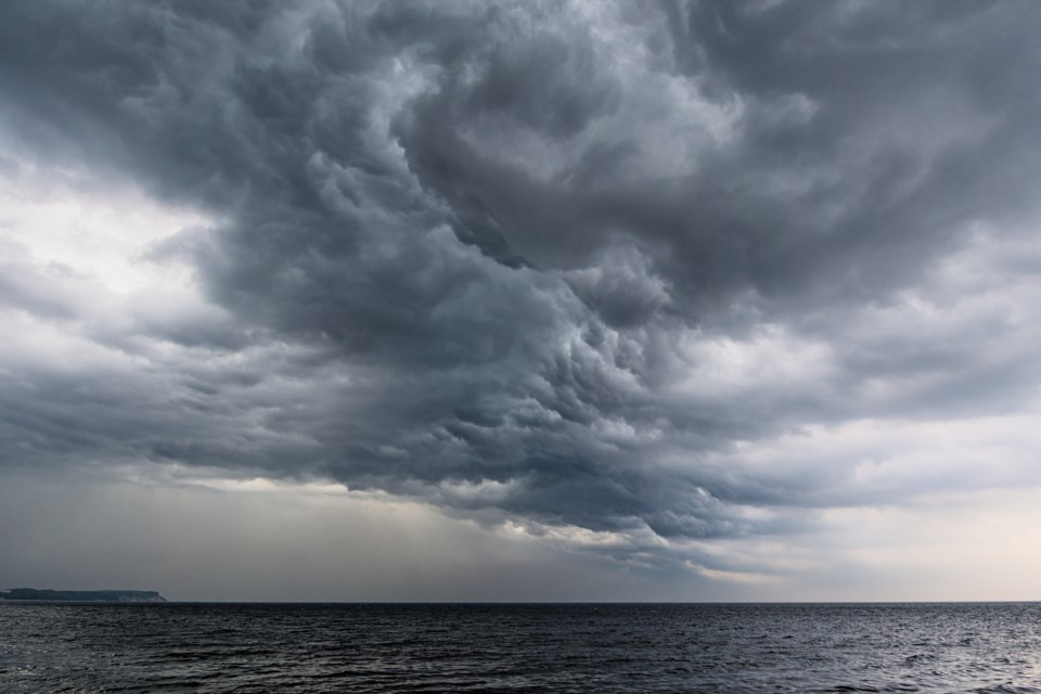
Conditions are favourable for the development of dangerous thunderstorms that may be capable of producing damaging wind gusts, large hail and torrential rain.
Thunderstorms are expected to move across Lake Huron from Michigan late this evening and continue rapidly eastward. A few locations may receive several rounds of thunderstorms. The thunderstorm activity is expected to end early Wednesday morning.
Very strong wind gusts can damage buildings, down trees and blow large vehicles off the road. Remember, severe thunderstorms can produce tornadoes. Heavy downpours can cause flash floods and water pooling on roads.
Lightning kills and injures Canadians every year. Remember, when thunder roars, go indoors! The Office of the Fire Marshal and Emergency Management recommends that you take cover immediately if threatening weather approaches.
Severe thunderstorm watches are issued when atmospheric conditions are favourable for the development of thunderstorms that could produce one or more of the following: large hail, damaging winds, torrential rainfall.
Please continue to monitor alerts and forecasts issued by Environment Canada. To report severe weather, send an email to [email protected] or tweet reports using #ONStorm.
*************************