WEATHER ALERT
ENVIRONMENT CANADA
*************************
Snow squall warning in effect for:
• Espanola - Killarney
• Manitoulin Island
• Elliot Lake - Ranger Lake
• Chapleau - Missinaibi Lake
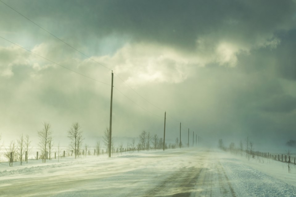
Lake effect snow squalls continue to affect areas near the eastern shores of Lake Superior today. Very poor visibilities have been reported due to heavy snow and blowing snow. The most intense activity continues to affect areas from north of Sault Ste. Marie to south of Wawa, with snow squalls occasionally reaching Highway 129 between Ranger Lake and Chapleau.
Further snowfall amounts in the heaviest snow squalls will range from near 5 cm inland to 15 cm near Lake Superior. The snow squalls will slowly drift southward out of the region this afternoon as winds veer into the northwest and weaken.
Hazardous winter driving conditions will continue today as a result.
Snow squalls cause weather conditions to vary considerably; changes from clear skies to heavy snow within just a few kilometres are common. Visibility will be suddenly reduced to near zero at times in heavy snow and blowing snow. Travel is expected to be hazardous due to reduced visibility. Road closures are possible.
Snow squall warnings are issued when bands of snow form that produce intense accumulating snow or near zero visibilities.
Please continue to monitor alerts and forecasts issued by Environment Canada. To report severe weather, send an email to [email protected] or tweet reports using #ONStorm.
*************************
Snow squall warning in effect for:
• Greater Sudbury and vicinity
Lake effect snow squalls off Northern Lake Huron are occurring today. Portions of Highways 17, 6 and 69 are likely to be affected.
Local snowfall amounts of near 15 cm are possible in the heaviest snow squalls by the time the snow squalls move out to the south over Lake Huron and Georgian Bay this evening.
Strong and gusty southwesterly winds are also expected to whip up the freshly falling snow, resulting in very low visibility in blowing snow.
Motorists should expect hazardous winter driving conditions today and change travel plans accordingly.
Snow squalls cause weather conditions to vary considerably; changes from clear skies to heavy snow within just a few kilometres are common. Visibility will be suddenly reduced to near zero at times in heavy snow and blowing snow.
Snow squall warnings are issued when bands of snow form that produce intense accumulating snow or near zero visibilities.
Please continue to monitor alerts and forecasts issued by Environment Canada. To report severe weather, send an email to [email protected] or tweet reports using #ONStorm.
*************************